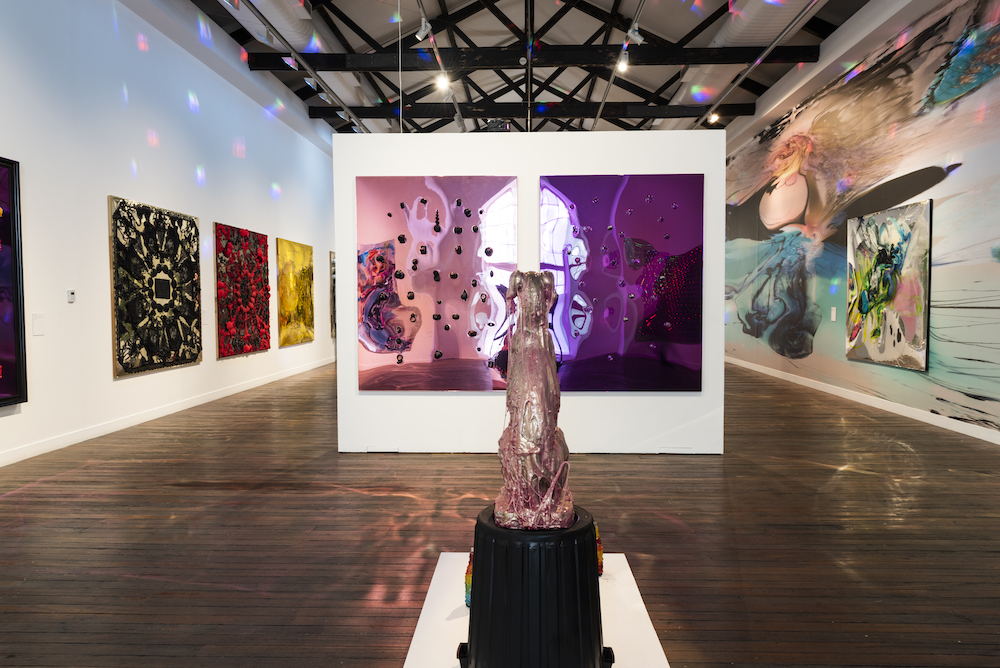
Jo Davenport – Mapping Hill End
What is a map anyway? Mapping Hill End explores cartography as an open-ended process. Completed over the course of a 2015 residency, each painting in the exhibition is a map of Hill End in the NSW countryside.
Writing of black work across and after the middle passage, theorist Katherine McKittrick suggests that “black women necessarily contribute to a representation of human geography”, even if it is not often recognised as such. Just as is true world-over, it was an encounter with indigenous cartography that sparked Jo Davenport’s interest in maps as documents that mediate space and, ultimately, Mapping Hill End. Working with oil on linen canvas, Davenport melds topography with representations of the sensory or ambient character of Hill End. One recurring motif takes this quite literally, as map-like grids of paint are choked by sprawls of colour and motion, bursts of sunlight and wind.
But despite all this, and despite her project’s genesis in black thought, Davenport’s work often seems avowedly academic. Mapping Hill End takes its own path, but one has to question whether it speaks to theory more than it speaks to the world, and one question to take through the exhibition is surely what relationship cartography has to geopolitics and to history. (ZS)
Jun 16–Jul 9, Tues-Fri 9.30am-6pm, Sat 10am-5pm. Arthouse gallery, 66 McLachlan Avenue, Rushcutters Bay. Free. Tickets & info: arthousegallery.com.au
BY ZEIYA SPEEDE